
Explore CartaVue Data Products
Premium geospatial data is the foundation of effective mapping, simulation, and analytics. CartaVue connects organizations with trusted commercial datasets that support more accurate modeling, informed decision-making, and successful project outcomes.
Satellite Imagery
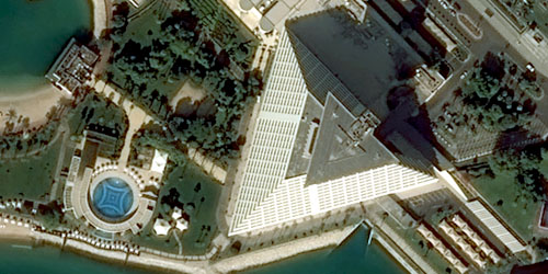
Satellite imagery provides consistent, scalable observation of the Earth’s surface using sensors that collect reflected or emitted energy across visible, infrared, and other spectral bands. Imagery resolution ranges from 30cm to 30m GSD globally, to 15cm GSD regionally.
These space-based systems support systematic monitoring, mapping, and analytic workflows by delivering repeatable coverage, standardized data formats, and predictable revisit cycles. Satellite imagery serves as a foundational input for a wide range of geospatial products - enabling feature extraction, land-use classification, material classification, environmental assessment, and temporal analysis across local, regional, and global scales.
Aerial Imagery
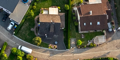
Aerial imagery offers sub-decimeter spatial detail (starting at 7.5cm), enabling precise visualization of buildings, roads, vegetation, and other local-scale features. Aerial programs typically provide standardized capture specifications and predictable refresh cycles, making them ideal for enterprises that rely on consistent, high-resolution basemaps.
Many programs also include true-orthos, which correct for building lean, and oblique imagery to support detailed interpretation from multiple viewpoints.
Digital Elevation Models
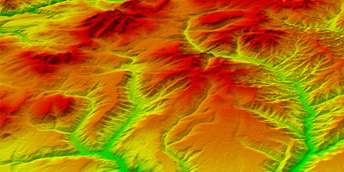
Digital Elevation Models (DEMs) provide the vertical foundation for mapping, simulation, engineering, infrastructure planning, environmental assessment, and geospatial analysis. While imagery shows what exists on the surface, elevation data describes the shape of the terrain and the height of natural and manmade features. Together, these datasets provide a more complete representation of the operating environment.
For most organizations, the primary decision is not whether elevation data is needed, but whether archive elevation products are sufficient or whether a custom elevation model should be generated to meet specific project requirements.
Vector Data
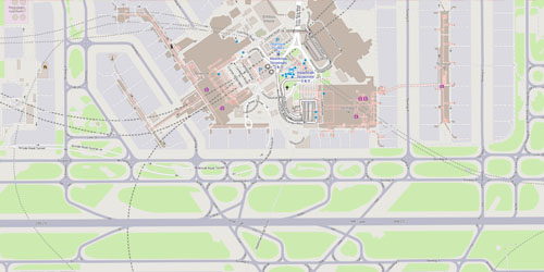
Vector datasets provide structured geometric representations of real-world features such as road networks, Vector datasets provide structured geometric representations of real-world features such as road networks, hydrography, land-use classes, aerodrome layouts, buildings, utilities, and administrative boundaries. Unlike raster imagery, vector layers encode semantic relationships and attributes, making them central to spatial analysis, routing, modeling, infrastructure management, and regulatory assessment.
Available at local, regional, and global scales, vector data supports a wide range of geospatial workflows including mapping, planning, asset management, telecommunications, environmental monitoring, simulation, and location-based analytics.
3D Models
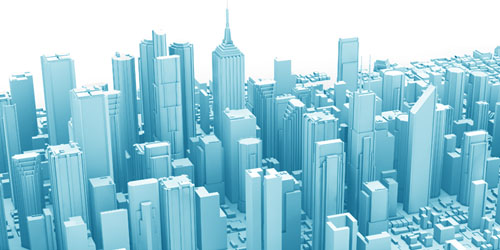
3D city and building models provide three-dimensional representations of structures, terrain, infrastructure, and urban environments, enabling realistic planning, simulation, visualization, engineering, and analytical workflows. Depending on the application, these models may be photorealistic meshes, simplified block models, or precisely defined building geometry with multiple levels of detail (LOD).
Organizations use 3D models to support digital twins, mission planning, training and simulation, line-of-sight analysis, urban development, asset management, and infrastructure projects.
Synthetic Aperture Radar (SAR) Data
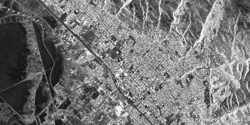
Synthetic Aperture Radar (SAR) is an active sensing technique that uses microwave signals to generate imagery independent of sunlight or atmospheric conditions. Because it transmits its own energy, SAR can operate consistently through clouds, haze, smoke, and darkness, providing dependable observations when optical imagery may be limited or unavailable.
These unique collection capabilities make SAR particularly valuable for monitoring dynamic environments, supporting time-sensitive operations, and maintaining situational awareness under challenging conditions. Common applications include disaster response, environmental monitoring, maritime surveillance, infrastructure assessment, intelligence activities, and change detection across local, regional, and global scales.
Light Detection and Ranging (LiDAR) Data
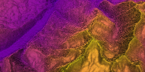
LiDAR is an active sensing technique that uses laser pulses to measure the three-dimensional structure of the Earth's surface. By recording the time it takes for emitted light to return from the ground and other features, LiDAR produces dense point clouds that represent terrain, vegetation, and built structures with high geometric fidelity. These point clouds can be transformed into a variety of elevation and surface models depending on analytical requirements.
Common LiDAR-derived products include point clouds, digital terrain models (DTMs), digital surface models (DSMs), contours, intensity imagery, canopy models, and feature extraction products.
Hyperspectral Imagery
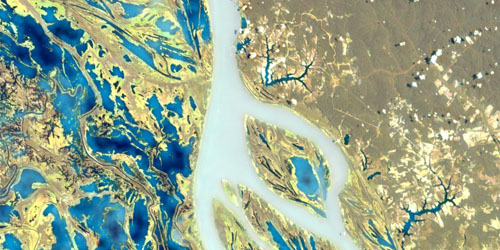
Hyperspectral imagery measures reflected energy across a large number of narrow, continuous spectral bands, creating detailed spectral profiles for each pixel. This dense spectral information supports the differentiation of materials and surface conditions that are not easily distinguished using broader-band imaging approaches.
By capturing subtle spectral variations across the electromagnetic spectrum, hyperspectral datasets enable advanced analysis of vegetation health, mineral composition, soil characteristics, water quality, and man-made materials. These products support applications including environmental monitoring, agriculture, forestry, mineral exploration, infrastructure assessment, defense and intelligence activities, and scientific research.
Need Assistance?
Not sure which geospatial products, services, or solutions best fit your requirements?
Contact our team to discuss your project objectives, area of interest, timeline, and technical needs.
We'll help identify the most appropriate options for your application.