
Solutions
Real-world challenges often require more than a single dataset. CartaVue combines geospatial products, services, and expertise into integrated solutions that help organizations improve situational awareness, support decision-making, reduce risk, and achieve operational objectives.
Simulation & Training
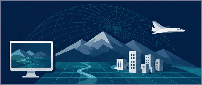
Build realistic synthetic environments that support mission rehearsal, operational training, digital twins, and advanced simulation programs.
Modern simulation programs require accurate representations of both the natural and built environment. CartaVue helps organizations combine imagery, elevation, LiDAR, 3D models, and other geospatial resources into immersive training environments that improve realism, readiness, and operational effectiveness.
Common Challenges
- Creating realistic operational environments
- Integrating multiple terrain and environmental datasets
- Maintaining current environments
- Supporting large geographic areas
- Balancing realism, performance, and cost
Example Use Cases
- Military mission rehearsal
- Flight simulation databases
- Digital twins
- Emergency response exercises
- Autonomous system testing
Recommended Data Stack
- Elevation Models
- LiDAR
- Satellite or Aerial Imagery
- 3D Models
- Material Classification
- Vector Data
- Obstacle Data
Example Deliverables
- Base Imagery
- Elevation terrain data
- 3D city models
- Vector data (Buildings, Water, Vegetation, Roads)
Intelligence & Defense
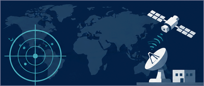
Support planning, operational awareness, intelligence preparation, and mission readiness using integrated geospatial intelligence solutions.
Defense and intelligence organizations frequently depend on multiple information sources to understand terrain, infrastructure, and changing operational conditions. CartaVue helps simplify geospatial intelligence acquisition by bringing together the datasets required to support mission planning and decision-making.
Common Challenges
- Limited situational awareness
- Rapidly changing environments
- Multi-source integration
- Time-sensitive intelligence
- Incomplete terrain understanding
Example Use Cases
- Mission planning
- Target area analysis
- Operational readiness
- Mission rehearsal
Recommended Data Stack
- Satellite Imagery
- Elevation Models
- Vector Data
- 3D Models
- Material Classification
- SAR
Infrastructure & Engineering
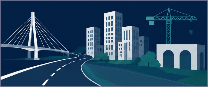
Improve planning, engineering, construction, and asset management using accurate representations of the built and natural environment.
Infrastructure projects often require current information across large areas and multiple stakeholders. CartaVue helps organizations access geospatial data that improves visibility, reduces uncertainty, and supports planning and design efforts throughout the project lifecycle.
Common Challenges
- Limited site visibility
- Disconnected datasets
- Corridor management
- Asset inventory limitations
Recommended Data Stack
- LiDAR
- Aerial Imagery
- Elevation Models
- Vector Data
- 3D Models
Environmental Monitoring
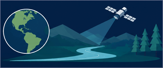
Monitor environmental conditions and natural resources using advanced remote sensing technologies and geospatial analytics.
Environmental programs depend on accurate information to understand changing conditions across large geographic areas. CartaVue helps organizations monitor resources, assess environmental trends, and support stewardship initiatives through integrated geospatial solutions.
Common Challenges
- Large monitoring areas
- Limited field access
- Compliance requirements
- Change detection needs
Recommended Data Stack
- Hyperspectral
- Material Classification
- Satellite Imagery
- Elevation Models
- Vector Data
Disaster Response
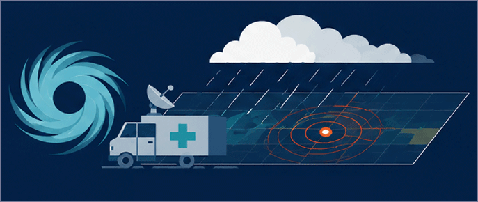
Rapid access to geospatial intelligence when timing, awareness, and decision-making are critical.
During emergencies, current information can significantly improve response and recovery activities. CartaVue helps organizations obtain geospatial products that support situational awareness, resource prioritization, damage assessment, and operational planning.
Common Challenges
- Rapidly changing conditions
- Limited awareness
- Weather impacts
- Time-critical information
Example Use Cases
- Flood response
- Hurricane recovery
- Wildfire assessment
Industries
Organizations across defense, utilities, infrastructure, environmental programs, telecommunications, and public-sector operations rely on geospatial intelligence to support planning, decision-making, and operational execution.
Defense & Intelligence
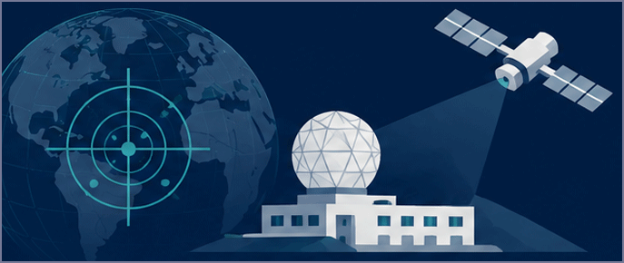
Modern defense and intelligence operations increasingly require information from multiple sensors, collection platforms, and geospatial sources. The challenge is often less about data availability and more about transforming disparate information into operationally relevant intelligence that supports planning, readiness, and decision-making across rapidly evolving environments.
Common Pain Points
- Limited situational awareness across large geographic areas
- Time-sensitive intelligence requirements
- Complex operating environments
- Multiple disconnected information sources
- Operational planning and readiness challenges
Typical Decision Makers
- Program Managers
- Intelligence Analysts
- Operations Officers
- Training & Simulation Teams
- Mission Planning Personnel
Recommended Data Stack
- Satellite Imagery
- Elevation Models
- 3D Models
- Vector Data
- Material Classification
Energy & Utilities
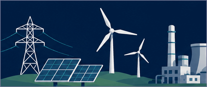
Utility operators face growing pressure to modernize aging infrastructure while maintaining reliability, resilience, and regulatory compliance. As transmission networks expand and distributed assets increase, obtaining accurate visibility into infrastructure conditions, environmental risks, and corridor activity becomes increasingly important for operational planning and long-term asset management.
Common Pain Points
- Managing geographically dispersed infrastructure
- Vegetation encroachment concerns
- Limited visibility into remote assets
- Corridor management complexity
- Modernization initiatives
Typical Decision Makers
- Utility Program Managers
- Asset Managers
- GIS Managers
- Operations Directors
- Engineering Teams
Recommended Data Stack
- Aerial Imagery
- Satellite Imagery
- LiDAR
- Elevation Models
- Vector Data
Infrastructure & Construction

Infrastructure projects generate significant volumes of information throughout planning, design, construction, and operations. The ability to establish a common understanding of existing conditions, project constraints, and surrounding environments can reduce uncertainty, improve stakeholder coordination, and support more informed project decisions from concept through completion.
Common Pain Points
- Incomplete site information
- Costly field collection efforts
- Project coordination challenges
- Asset visibility limitations
- Multiple disconnected data sources
Typical Decision Makers
- Project Managers
- Engineering Managers
- GIS Professionals
- Construction Teams
- Asset Managers
Recommended Data Stack
- LiDAR
- Aerial Imagery
- Elevation Models
- 3D Models
- Vector Data
Environmental & Climate
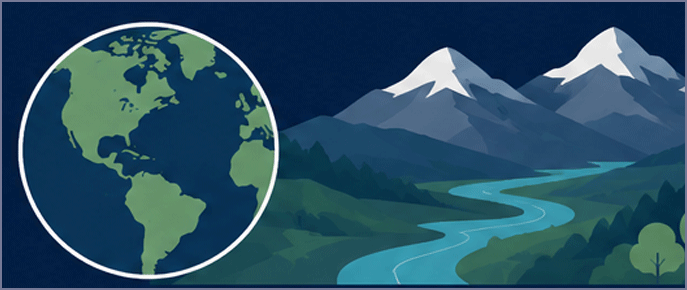
Environmental programs increasingly depend on timely information collected across large geographic areas where traditional field observations may be costly, incomplete, or difficult to repeat. Remote sensing technologies provide opportunities to monitor environmental conditions, identify change, and support long-term stewardship initiatives through consistent and scalable observation methods.
Common Pain Points
- Large monitoring areas
- Limited field access
- Environmental compliance requirements
- Resource management challenges
- Change detection needs
Typical Decision Makers
- Environmental Scientists
- Program Managers
- Natural Resource Managers
- GIS Specialists
- Sustainability Teams
Recommended Data Stack
- Hyperspectral
- Material Classification
- Satellite Imagery
- Elevation Models
- Vector Data
Telecommunications
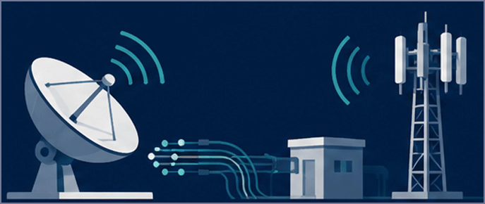
Telecommunications providers continue to expand network capacity while balancing coverage objectives, deployment costs, and infrastructure constraints. Understanding terrain characteristics, surrounding development patterns, and existing infrastructure conditions can significantly influence site selection decisions, network performance, and future expansion strategies.
Common Pain Points
- Site selection challenges
- Network expansion planning
- Infrastructure visibility limitations
- Terrain impacts on coverage
- Rapid deployment requirements
Typical Decision Makers
- Network Planning Teams
- Infrastructure Managers
- Engineering Teams
- GIS Managers
- Deployment Program Managers
Recommended Data Stack
- Elevation Models
- Aerial Imagery
- Satellite Imagery
- Vector Data
- 3D Models
Government & Public Safety
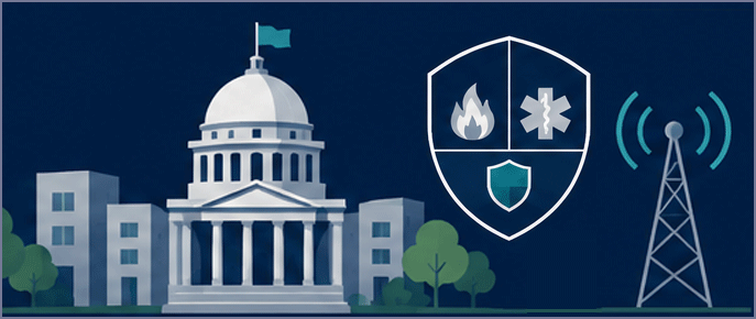
Government agencies and public-safety organizations are often responsible for decisions that impact communities, critical infrastructure, and emergency operations. Access to current geospatial information can improve understanding of changing conditions, support resource prioritization, and provide a stronger foundation for planning, preparedness, and response activities.
Common Pain Points
- Limited situational awareness
- Emergency preparedness challenges
- Infrastructure management responsibilities
- Resource allocation decisions
- Community planning requirements
Typical Decision Makers
- Emergency Managers
- Public Safety Officials
- Planning Departments
- GIS Managers
- Operations Leadership
Recommended Data Stack
- Satellite Imagery
- Aerial Imagery
- Elevation Models
- Vector Data
Need Assistance?
Not sure which geospatial products, services, or solutions best fit your requirements?
Contact our team to discuss your project objectives, area of interest, timeline, and technical needs.
We'll help identify the most appropriate options for your application.